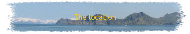


This year, I will meet the ship in Dutch Harbor, Alaska and travel in the
Bering Sea and the Gulf of Alaska. I will leave the ship on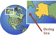 Kodiak, Alaska.
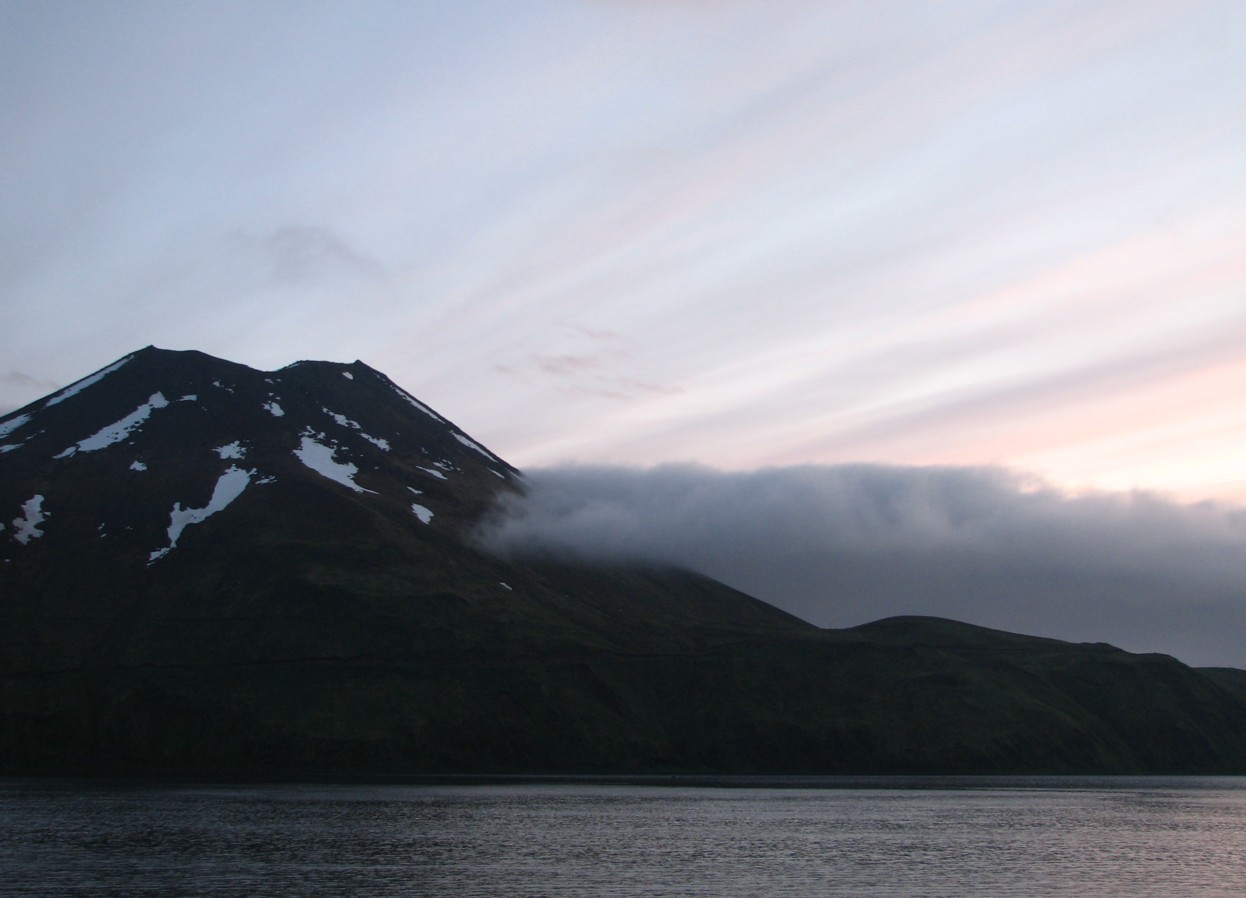
What an amazing place this is! Dutch Harbor is the largest fishing port in the United States. It is home to a huge fleet of ships that fish the waters of the Bering Sea, including the ones featured in TV shows like The Worlds Deadliest Catch. Dutch Harbor also has more bald eagles than anywhere I have ever seen.
 The
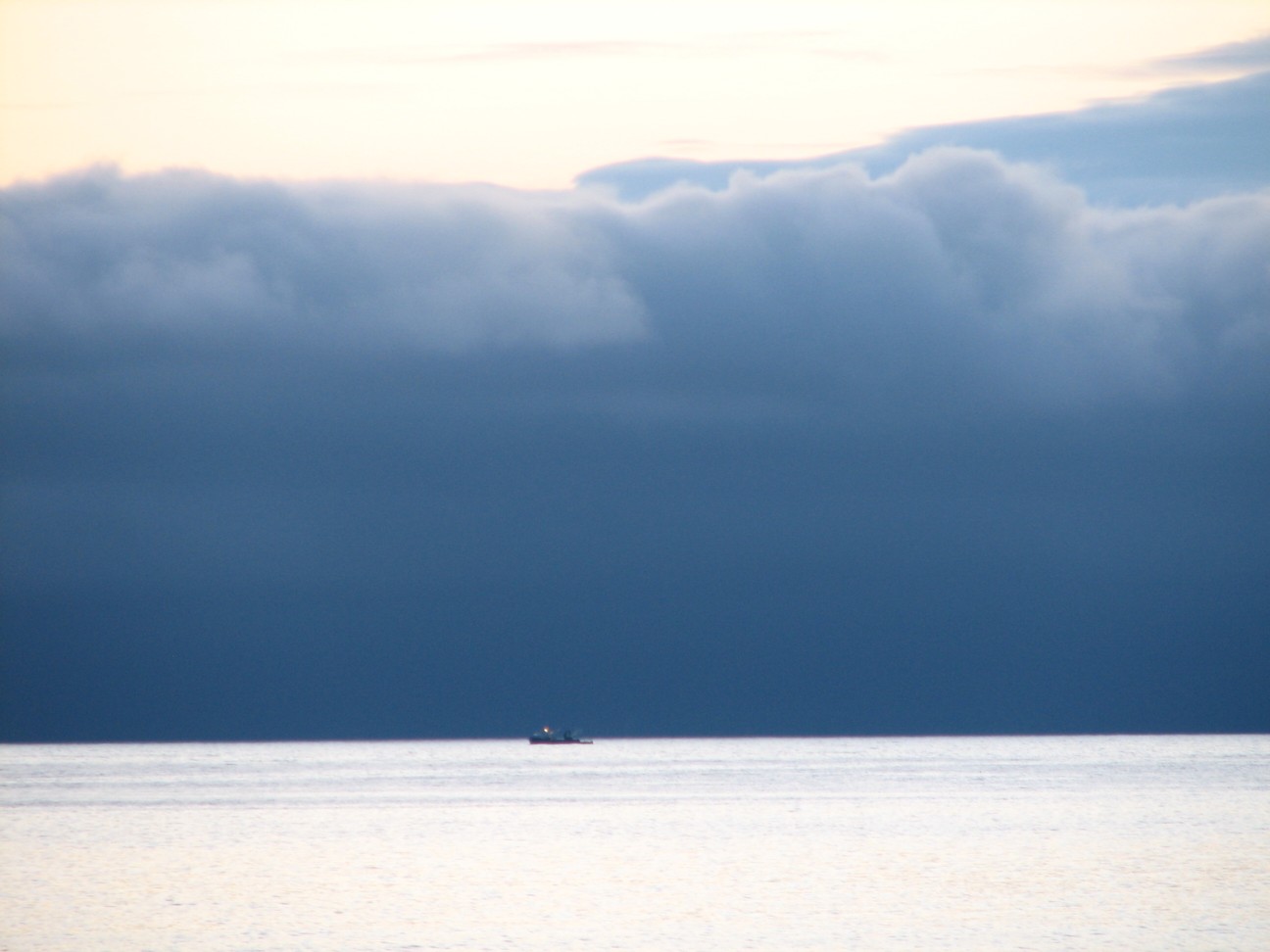
Bering sea is between Alaska and Russia. Alaska is to the east and south,
Russia is to the west. To the north is the Bearing Strait and the Arctic
Ocean. There are whales, dolphins, sea lions and even coral! On the shores are polar bears reindeer and more.
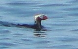
And then there are the birds.
Two types of puffin, albatross, murres, bald eagle and so many more. The area is
famous for another reason as well. During the last ice age, New York was frozen
under a huge ice sheet, but the Bering Sea was not! At that time, the winds
blew warmer, dryer air into the Bering Sea area than they did into most of the
rest of North America. In fact, sea levels were lower in those days because so
much water was trapped in ice and most of the Bering Sea area was dry land.
People from Asia used this land bridge to cross into North America on foot.
Those people spread out across North and South America and became the Native
Americans we know today.
The
Bering sea is between Alaska and Russia. Alaska is to the east and south,
Russia is to the west. To the north is the Bearing Strait and the Arctic
Ocean. There are whales, dolphins, sea lions and even coral! On the shores are polar bears reindeer and more.
And then there are the birds.
Two types of puffin, albatross, murres, bald eagle and so many more. The area is
famous for another reason as well. During the last ice age, New York was frozen
under a huge ice sheet, but the Bering Sea was not! At that time, the winds
blew warmer, dryer air into the Bering Sea area than they did into most of the
rest of North America. In fact, sea levels were lower in those days because so
much water was trapped in ice and most of the Bering Sea area was dry land.
People from Asia used this land bridge to cross into North America on foot.
Those people spread out across North and South America and became the Native
Americans we know today.
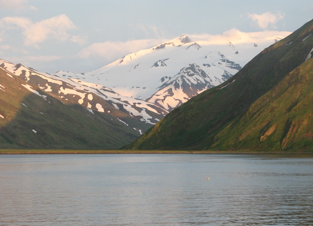
Kodiak is the second largest island in the US, but very little of it is settled. The island is 3588 square miles in area. Rockland county, for comparison is 174 square miles. Kodiak is home to the largest Coast Guard base in the US, a huge fishing fleet and even a rocket base. All with a population smaller than the communities that make up our school district. There 13,000 people on Kodiak Island, and about 3000 bears.
 |
 |
 |
More About the Area
|
(You must have the Google Earth Program on your computer) | |||||||
Sources: